- About us
- Project
- Publications
-
Deliverables

D6.4 – Promotional material
December 31, 2020DeliverablesThe aim of the communication materials is to publicise the COALA Project among potential users. This Deliverab...

D6.2: Communication and Disseminati...
December 31, 2020DeliverablesThis Deliverable is an update of the first version of the Communication and Dissemination Plan.

D4.1: Baseline Description of Pilot...
September 30, 2020DeliverablesThis Deliverable describes the pilot experiments of COALA Project. Participatory evaluation of the COALA servi...
- Media Room
-
News

COALA Project: A Success St...
August 20, 2023Blog, Evidenziato, News, Press ReleaseThe COALA Project, a European Union funded project involving a collaborative initiative between the European U...

Workshop on COALA business model
December 19, 2020News
Plenary meeting November 23, 24 and...
December 1, 2020NewsThe plenary meeting of COALA Project has been held on 23rd, 24th and 30 November 2020

Webinar: Governance of Water Scarci...
November 17, 2020NewsThanks to Copernicus data, Europe and Australia launch a new challenge to improve the management of water and ...
- Blog
- Resources
-
- November 23, 2023
- Antonio Gnassi
- Blog
- No Comments
- May 21, 2023
- UNSW
- Blog
- No Comments
- March 24, 2023
- UNSW
- Blog
- No Comments
- July 8, 2021
- White Research
- Blog
- No Comments
- July 5, 2021
- JCRMO
- Blog
- No Comments
- June 30, 2021
- Ariespace
- Blog
- No Comments
- March 26, 2021
- University of Melbourne
- Blog
- No Comments
- January 3, 2021
- JCRMO
- Blog
- No Comments
irrigation
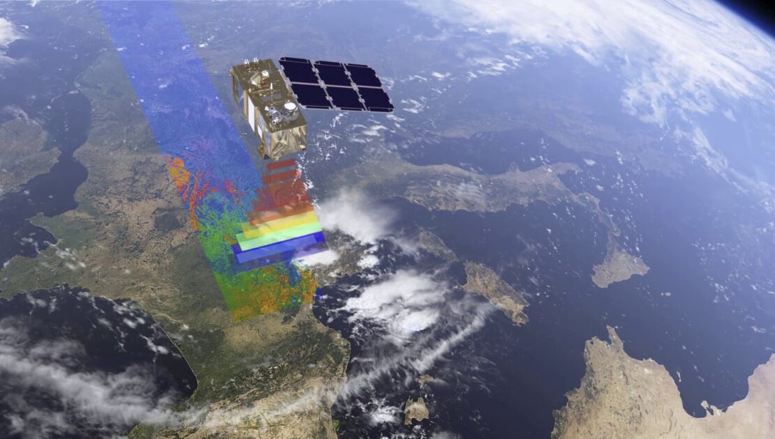
COpernicus Applications and services for Low impact agriculture in Australia. Our COALA Project on CORDIS Europa.eu
Satellite monitoring tools key to sustainable agriculture Using satellite data to deliver real-time crop monitoring can help achieve more cost-efficient and sustainable agriculture, and open up potential new commercial opportunities. Read the article here Thanks to CORDIS Read more…
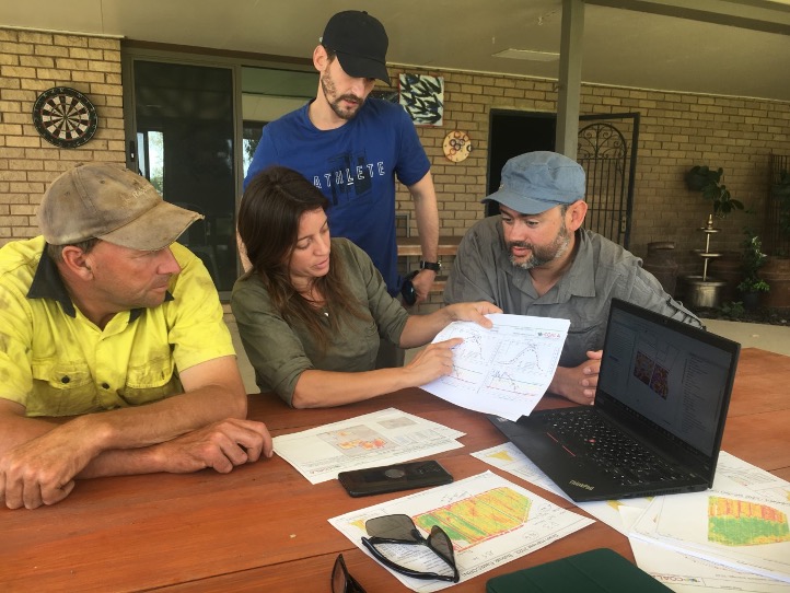
The Future of Farming: Combining Local Knowledge and Precision Agriculture
Precision agriculture is a rapidly evolving industry that requires constant innovation to meet growing market demands. AgTech companies like COALA partner AGRISAT are leading change as advancements in remote sensing technology, and data analysis have allowed for more precise and efficient farming practices. Although these organisations are adept at communicating online, there is no better…
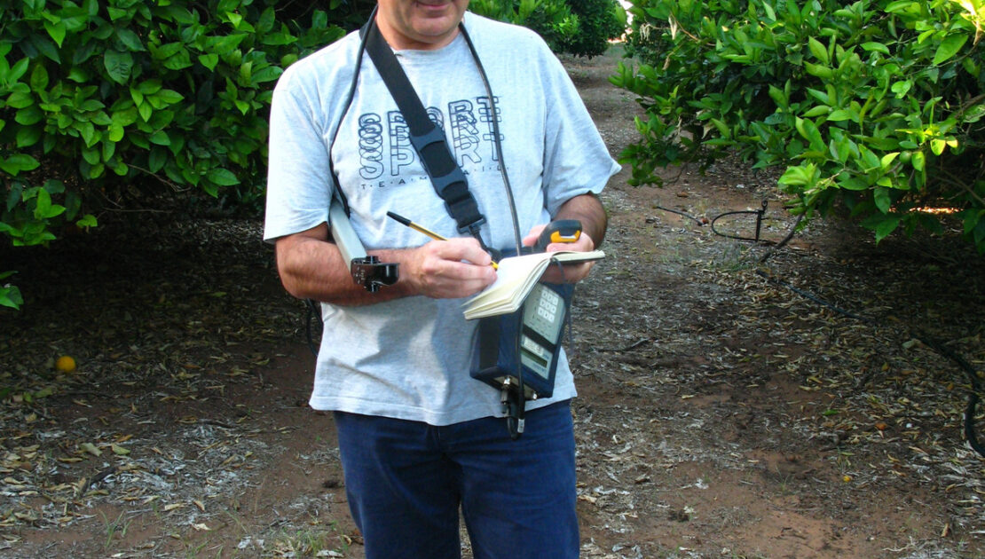
Applications for AgTech; In Conversation with Dr Guido D’Urso
Dr Guido D’Urso starts each day with a cup of Italian coffee as he reads his emails. Working on an international project, Dr D’Urso corresponds with his Australian colleagues in the morning, his European colleagues during the day, and his American peers in the evening. Guiding PhD students, coordinating postgraduate courses, and managing an international…

The COALA Business Model: creating a successful model
A business model can be seen as a holistic framework through which any business is defined, understood, and designed. It allows you to map out how ongoing value for your customers can be created. The COALA business model The COALA Business model tries to comprehensively capture the characteristics of and relationships between fundamental “building blocks”….

Remote sensing detects irrigation non-compliance
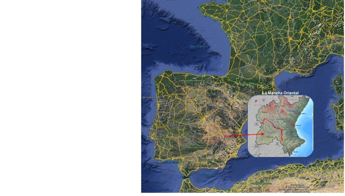
Remote sensing-based tools help effectively control illegal water uses. Irrigation non-compliance is becoming a more and more serious issue with increased droughts and changing climate. With these techniques, you can locate irrigated areas without concession and excesses of the authorised volume. A Case Study in Spain Because of its scarcity, irrigation water use in La…
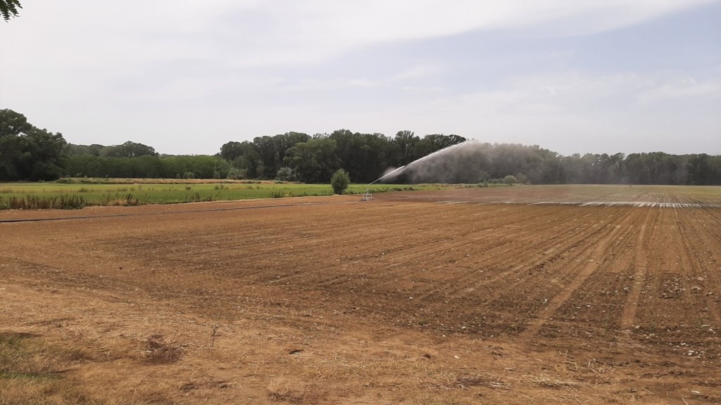
COALA addresses new challenges in precision irrigation
The COALA project has been operational since January 2020. Our project uses information provided by satellites (the Sentinels) to help support Australian farmers in the Murray-Darling Basin. One of the ways that we support farmers is through precision irrigation. Precision irrigation is a farm management approach that involves using technology to make informed decisions. The…
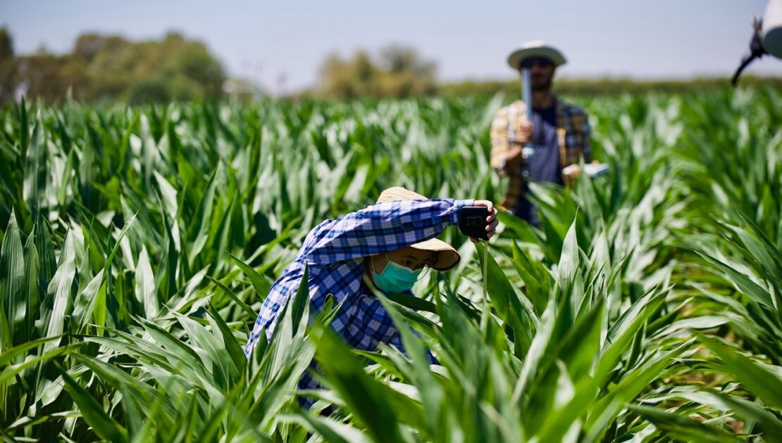
COALA Airborne Campaigns over Farmlands in Victoria
COALA airborne campaigns act in developing agricultural decision support for Australian farmers COALA offers a range of information to support irrigation and fertilisation management decisions using Sentinel-2 satellite data. Australian farmers’ input costs include a significant amount of water and fertilisers. Their optimal use has critical implications to various ecosystems that are sensitively influenced by…
Copernicus for water management and allocation
Copernicus for water management: a story of success. Earth Observation data from Copernicus optimised irrigation management in drylands of South East Spain. How it all began During a severe drought in 1995-1996, the aquifers in the region of La Mancha Oriental reached a dangerous level. So low that the Central Government of Madrid threatened to…
