
- January 3, 2021
- JCRMO
- Blog
- No Comments


Copernicus for water management and allocation

Copernicus for water management and allocation
Copernicus for water management: a story of success. Earth Observation data from Copernicus optimised irrigation management in drylands of South East Spain.
How it all began
During a severe drought in 1995-1996, the aquifers in the region of La Mancha Oriental reached a dangerous level. So low that the Central Government of Madrid threatened to ban using groundwater from those aquifers for agricultural irrigation.
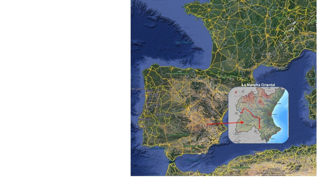
La Mancha consists of 9000 farms over an area 11 times larger than Canberra. The farmers of the area were committed to saving their livelihoods and looked for solutions. So, they joined forces with the University of Castilla-La Mancha. Together they developed a tool that helped farmers and irrigators monitoring and sustainably managing the water abstractions in the aquifer. Project ERMOT was born. ERMOT uses information collected by the Sentinel satellites and combines it with field data.
ERMOT is public-private partnership, jointly financed by the Water Users (Irrigation District Board), the River Basin Authority, and the Regional Government of Castilla-La Mancha, each paying a third of the cost to contract the University’s technical assistance (provided by the Remote Sensing and GIS Unit of the Regional Development Institute).
The contract for technical assistance has since been renewed annually. And, the initial tool has been further developed. In addition, the Irrigation District Board has developed capacities to integrate it in their routine procedures of managing 130,000 hectares of irrigated land.
JCRMO
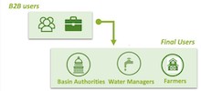
Water management is undertaken by the Central Irrigation Board of Mancha Oriental (Spanish acronym of JCRMO for Junta Central de Regantes de La Mancha Oriental). This umbrella organisation assembles the 9000 farmers. Moreover, they coordinate water usage through a collaboration model of landholders, state administration, university and other local institutions. Importantly, coordination and unity allow a sustainable management of water resources.
The JCRMO works with farmers and authorities to ensure rational and sustainable use of water for irrigation within its management area. For example, JCRMO undertakes Water management monitoring, using the concept of “Water Management Unit” (WMU). And, because farmers are part of the venture, the Board represents the interests of farmers. The board also ensures transparency in water usage —field inspections and surveillance, with sanctioning for exceeding the water rights.
Copernicus data has been effective for several reasons. Firstly, knowing the temporal evolution of irrigated crops located in the areas of aquifers and rivers that provide much needed irrigation. Secondly, map land uses to separate woody crops (almond trees) from vegetables (lettuce) using a Normalised Difference Vegetation Index.Thirdly, estimating the annual extraction of irrigation water. And finally, estimating cropped area and calculating water consumption in each water management unit.
Copernicus for water management.
Multi-temporal satellite images support the allocation of water rights, and the preparation of an annual cultivation plan and its enforcement. The system developed by the partnership has been key for reducing water abstractions. Now, after 10 years of operation, the aquifer levels were back to their sustainable levels.
The results of this management have been very positive.
As summarised by one farmer that benefits from this system “Happy to be a farmer well taken care of by JCRMO: equitable, just/fair, transparent. I can trust them and know that my farm has a future”
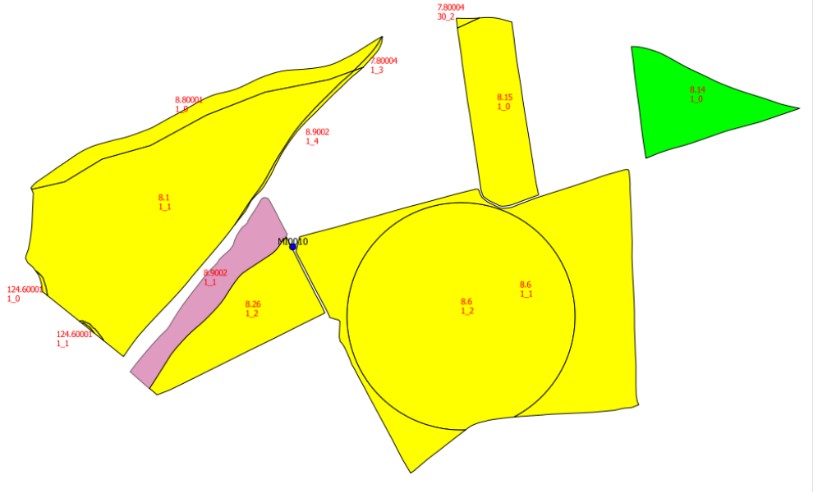
Example of a water management map.
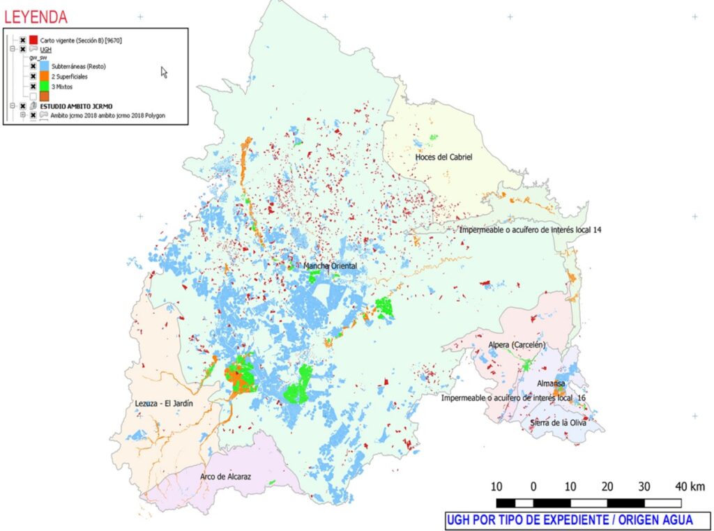
Map of irrigated areas of La Mancha Oriental
The JCRMO and the state administration share the same management system, the same GIS. Copernicus for water management using remote sensing data is essential for monitoring water uses in La Mancha Oriental.
We hope that our experience will be of use to the members of the COALA project. And, in addition, contribute ideas in the development of tools that improve water management in Australia.