
- January 20, 2022
- UNSW
- Blog
- No Comments


Satellite imagery records the volcanic eruption in Tonga
Satellite imagery records the volcanic eruption in Tonga
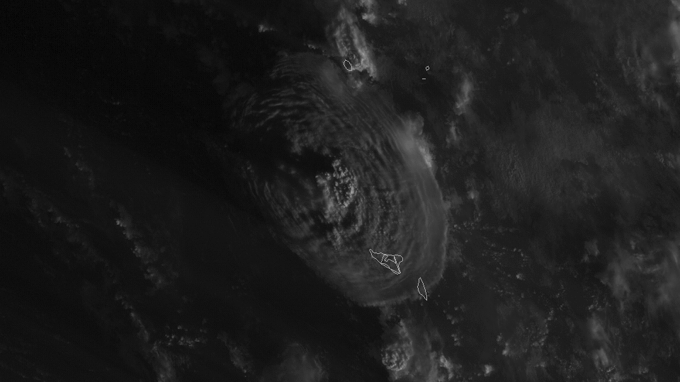
Being in the right place at the right time matters, the saying goes. And, while the satellites orbiting Earth are hundreds – or sometimes thousands – of kilometres above us, they were positioned perfectly to capture the recent volcanic eruption in Tonga of the underwater volcano Hunga Tonga-Hunga Ha’apai. The different satellites capturing this eruption were an international consortium from NASA, the Japanese Space Agency (JAXA) and the European Space Agency (ESA).
Geostationary Satellites
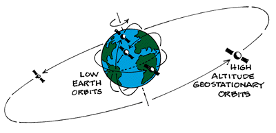
Geostationary satellites, also known as ‘weather satllites’ captured images of this impressive explosion. These satellites have a geostationary orbit, which means they are placed at an altitude of approximately 36,000 km (this is like travelling Sydney to London and back, or driving 9 times between Sydney and Perth). They are located directly over the equator and circle us in the same direction the Earth rotates (west to east).

At this altitude, one orbit takes 24 hours, which is how long Earth takes to rotate once on its axis. From the ground they look motionless as if they are in a fixed position in the sky. There are hundreds of communication satellites and several meteorological satellites (that you see on TV each day) in this category. Because they are so high above us, they are able to scan half of Earth (a hemisphere) every few minutes, and weather forecasts are updated using this information.
Geostationary Operational Environmental Satellites
The Geostationary Operational Environmental Satellites (GOES), designed by the NASA and operated by the National Oceanic and Atmospheric Administration (NOAA) are well known. These weather satellites are used for short-range warning and “now-casting” and are used primarily to support the requirements of the USA National Weather Service. Usually, two GOES satellites are operational at time (as they have ‘fixed’ orbits, one satellite ‘looks’ at a different hemisphere).
The eruption
The first GOES (GOES-1, now decommissioned) was launched in October 1975, and latest (GOES-17; launched in 2017). GOES-17 is the one that captured the volcanic eruption in Tonga. The GOES West Satellite provides coverage of the Western Hemisphere, including the United States, the Pacific Ocean, Alaska and Hawaii, with a pixel resolution (the smallest size object that can be distinguished in an image) of 500 metres to 1 km.

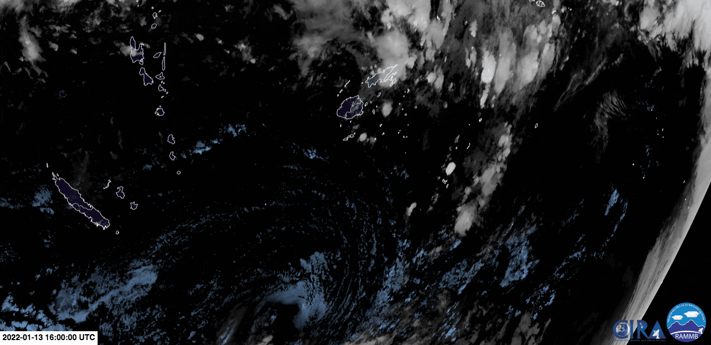
Another satellite that captured the eruption is Japan’s Himawari-8 operated by the Japanese Meteorological Agency. This weather satellite is locked into a stationary orbit above New Guinea, and can provide images of Earth every 10 minutes (so it is able to take 144 photographs of the entire planet a day).
The Copernicus Programme
The COALA project uses data from the Sentinel-2 satellite in the Copernicus programme of the European Space Agency. The Sentinel-2 satellite is a bit different than these geostationary satellites we refer to above. We use the data from Sentinel-2 to help derive services and products that useful in enhancing nutrient and water irrigation management in Australia.
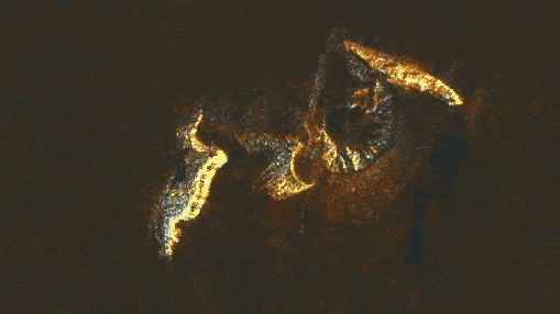
The Sentinel-1 satellited from the Copernicus programme captures images using microwaves (a part of the electromagnetic spectrum that is invisible to the human eye). With these data the Copernicus programme has produced a ‘change image’ (using images pre- and post- eruption). The satellite passed over Tonga 12 hours after the eruption.
Sentinel-1 and Sentinel-2 are sun-synchronous satellites (orbiting at an altitude of about 800 km), and can provide images of a point in Earth at fixed time periods (e.g., every 3 or 5 days). They have better spatial resolution than geostationary satellites, but they are not always in the right place, at the right time because they move around.
The European Space Agency also has a ‘geostationary’ satellite called Meteosat, to help forecast weather over Europe, Africa and the eastern Atlantic, so it did not capture the eruption. You can find more information about satellites and their importance for understanding natural hazards from the BBC, and NASA.