
newsletter
From big tape to big data: the Digital Farming Age
- October 19, 2020
- Universität für Bodenkultur Wien
- Blog
- No Comments
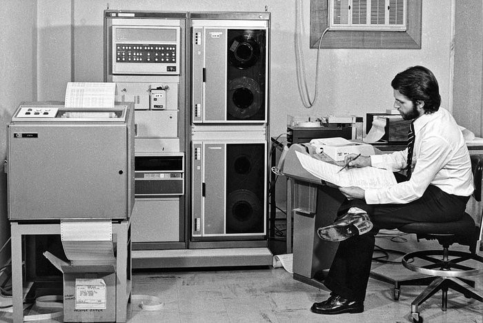
Going from big tape to big data with satellites helped us enter the ‘Digital Farming Age’. And now the COALA project benefits from this heritage. The beginning of satellite images of Earth’s land surface The systematic acquisition of satellite images of land surface started in 1972 with the U.S. Landsat program. With this data-stream, it…

A short history of satellites advancing humanity
- October 12, 2020
- UNSW
- Blog
- No Comments
Learning about a short history of satellites enables us to see how far we’ve come in such a small time. 60 years ago we were racing to simply get to space. Now we have started exploring further than our solar system – like Voyager 2 which is currently in interstellar space. The first satellite Forty…
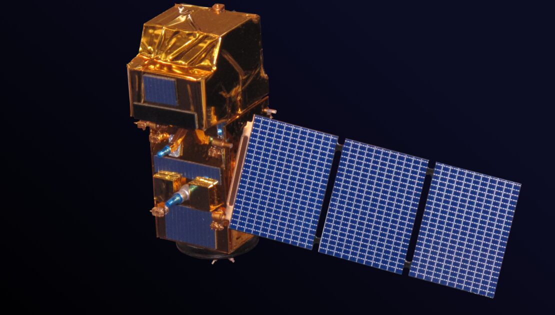
Copernicus: an agricultural helper from space
- September 23, 2020
- UNSW
- Blog, Tutorial Students
- No Comments
How does Copernicus, a program for satellites become an agricultural helper from space, and help us with agriculture here on Earth? In UNSW’s last blog ‘Copernicus: a Sentinel in space teaches us about land and the environment’ we talked about how satellites can help us learn more about processes on the ground, here we will…
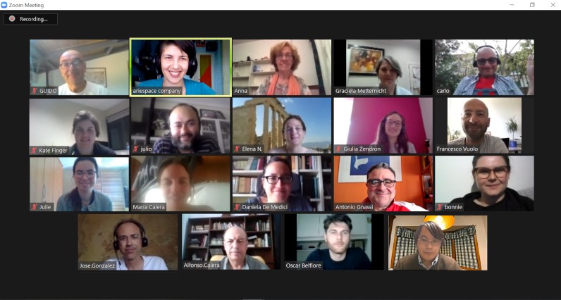
Round Table meetings, July 7-8-13, 2020
- July 21, 2020
- Ariespace
- News
- No Comments
Round Table meetings, July 7-8-13, 2020
Copernicus: a Sentinel in space teaches us about land and the environment
- July 9, 2020
- UNSW
- Blog, Tutorial Students
- No Comments
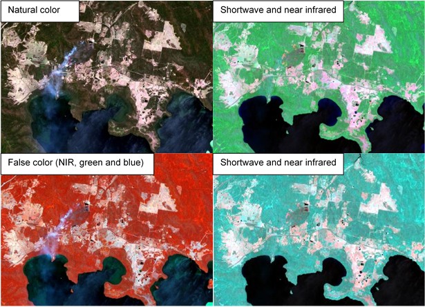
Copernicus is the European Union’s Earth Observation Programme, looking at our planet and its environment. Data from space satellites can help inform us about processes here on Earth. Have you ever heard the saying ‘It’s hard to see the forest for the trees?’? Sometimes a little distance is what we need. We can learn a…
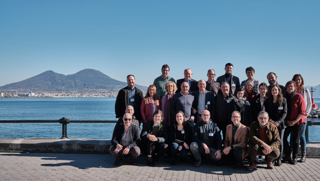
Kick-off meeting February 5-7, 2020
- February 12, 2020
- Ariespace
- News
- No Comments
On 5, 6 and 7 of February the Kick-off Meeting of Coala Project has been held in Naples (Italy).
- 1
- 2