
processing
From big tape to big data: the Digital Farming Age
- October 19, 2020
- Universität für Bodenkultur Wien
- Blog
- No Comments
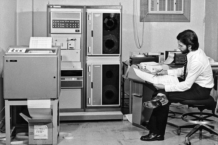
Going from big tape to big data with satellites helped us enter the ‘Digital Farming Age’. And now the COALA project benefits from this heritage. The beginning of satellite images of Earth’s land surface The systematic acquisition of satellite images of land surface started in 1972 with the U.S. Landsat program. With this data-stream, it…